Drone volume survey vs GPS machine control for verifying moved material
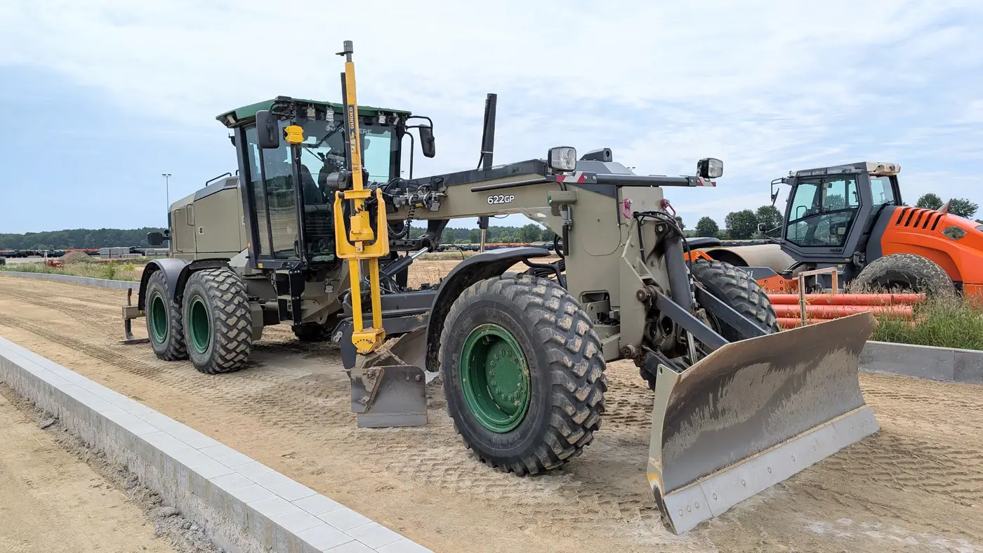
A pay app comes in from the earthmoving sub listing 14,000 cubic yards moved this period. The number comes from their own GPS machine control system, and the PM has to decide whether to sign off on it or push back. This is where the question of drone volume survey vs GPS machine control for verifying moved material actually comes up on a job, not as an abstract comparison but as a Friday-afternoon decision with a draw deadline attached.
What GPS machine control actually measures
Machine control grade models are built from the position of the blade or bucket as the machine works. The system compares that as-built surface to the design surface and tells the operator where to cut and where to fill. It's a grade tool first. It tells the operator "you're 0.3 feet high here" in real time, and that's exactly what it's good at.
The volume numbers that come out of a machine control system are a byproduct of that grade data, not an independent measurement. The surface the volume is calculated against was generated by the same machine, run by the same crew, working for the same sub who's submitting the pay app line item. If there's a reason, intentional or not, for that as-built surface to be generous, the volume number inherits it. Nobody on a machine control system is lying by default. But a GPS trace from the equipment doing the earthwork isn't a third party checking the earthwork.
What surface-to-surface differencing gives you instead
A drone volume survey works from a different starting point entirely. Instead of tracking a machine's position while it works, it captures the ground surface itself, before the cut or fill and after it, and differences the two surfaces to get a volume. The drone (or in some setups a crewed aircraft) flies the site with an RGB camera at sub-10cm ground sample distance, and that capture happens on its own schedule, typically weekly, independent of what any sub's equipment is reporting.
That independence is the whole point for a pay app. The surface model used to calculate cut and fill didn't come from the sub's machine, so there's nothing in the measurement chain that depends on their GPS data being correct. If the drone survey says 11,200 cubic yards moved and the sub's machine control system says 14,000, that's a real discrepancy worth a conversation, not a rounding difference between two versions of the same number.
Surface-to-surface differencing also doesn't care which piece of equipment did the moving. A dozer, a scraper, and a crew with hand tools all change the ground surface the same way as far as the comparison is concerned, so it covers mixed-equipment sites where a single machine's GPS trace would miss part of the story.
Where each one fits
None of this means machine control is the wrong tool. For day-to-day grade checking and stakeout, it's doing a job a drone survey was never built to do, and it should stay on the machine. The distinction that matters for a pay app is which number is independent of the party being paid. A grade model generated by the sub's equipment is not that number, no matter how accurate the machine control hardware is. A surface model built from a separate weekly capture is.
If a project is still relying on the dirt sub's own load counts or GPS totals to back a draw, that's worth a second look before the next pay app goes out. Earthwork Volumes turns weekly drone capture into cut/fill volumes built specifically for that verification step, so the number in the pay app doesn't come from the same source that's billing for it.
Next time a load count number looks high, pull an independent cut/fill volume before you sign the pay app.